Geographic Information Systems: Applied Climate Change CasesSemester Course

Geographic Information Systems: Applied Climate Change Cases
Major Discipline(s)
Environmental Science, Geography, Geology
Type
Elective Course
Available
Fall/Spring semester
Credit(s)
3

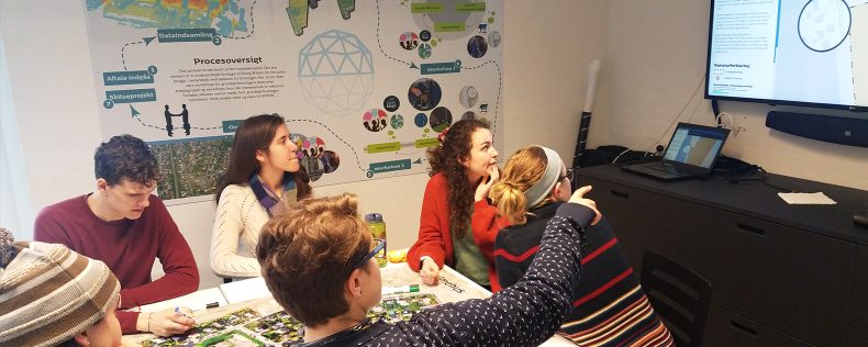
Geographical information systems (GIS) are used in many contexts of modern society, e.g. research, industry, public planning, and climate change adaptation. This course is a hands-on introduction to using and understanding GIS. Exercises include working on spatial data, map projections, coordinate systems, data bases, and data quality issues. Furthermore, the exercises are built to illustrate the usefulness of GIS in a variety of contexts in relation to climate change as well as to guide you through the use of the software.

Related Discipline(s)

This course would also be of interest to the following discipline(s):
Information Science

Faculty

Rasmus Ekman

DIS Copenhagen Semester Faculty

MSc in Geography and Geoinformatics (University of Copenhagen). GIS analyst and drone pilot in the Department of Sustainable Development, City of Copenhagen. His primary work is in climate adaptation projects, ensuring public participation and creation of high detailed drone generated geodata. Former member of  the student association for Physical Geography with University of Copenhagen. Former position with the Copenhagen Municipality in the Climate Adaptation Unit under the Technical and Environmental Administration Works with GIS at the climate adaptation unit in the municipality of Copenhagen and at Energy and Water – Greater Copenhagen Science Centre. With DIS since 2016.